
Despite the warmth in the tent, the morning outside is clear and fresh and fucking freezing, and it takes barely a quarter of an unzip to tell I’m gonna have a bad time if I don’t put on pants. Well. Summer’s coming. I hope.
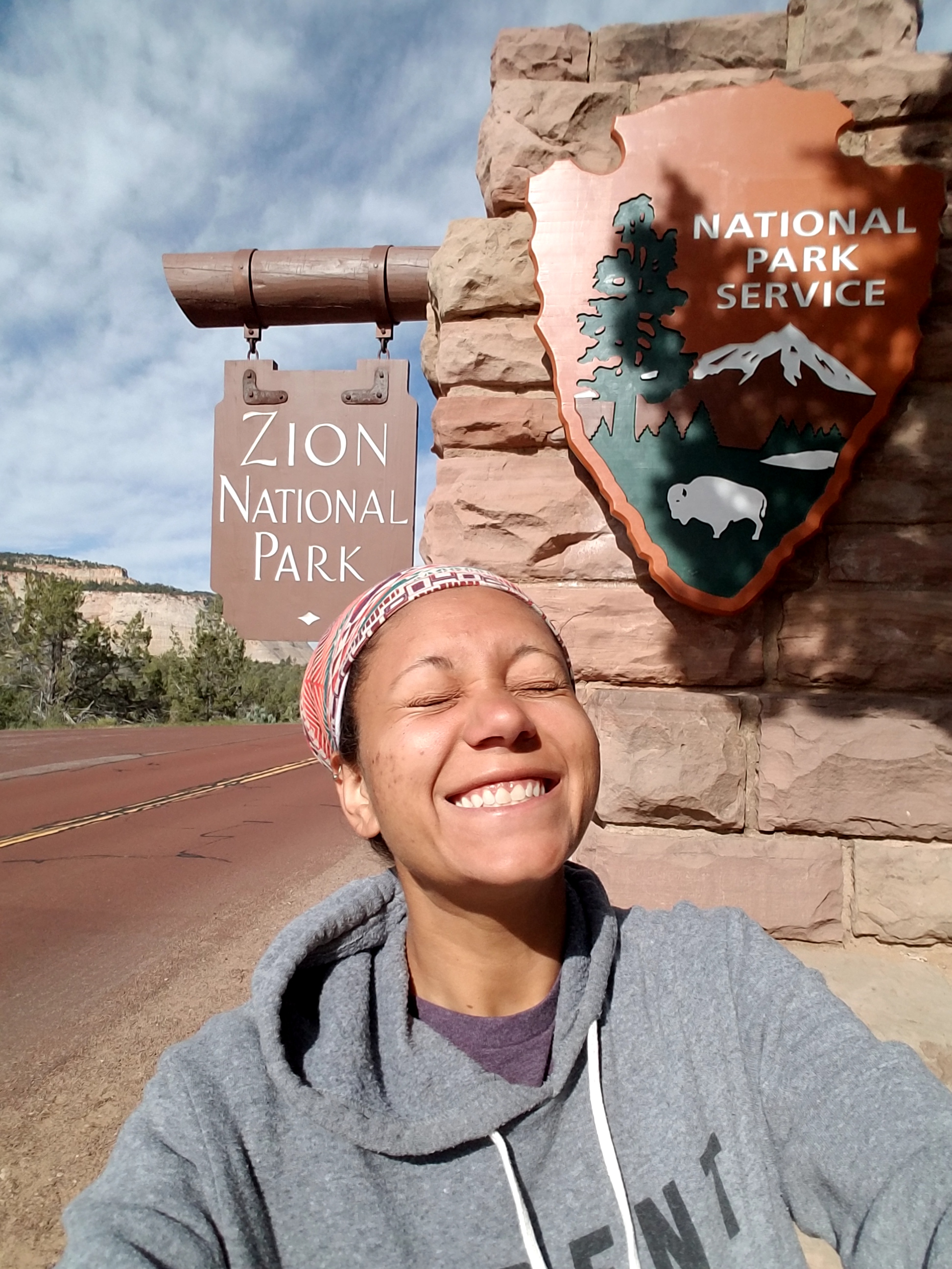
The other teams are nearly done with breakfast, packing quickly and pulling out, ready to escape the confines of our somewhat-rigorous training schedule. I don’t mind it, really; it feels less intense than any other training I’ve ever done, the stakes lower than customer-facing positions I’ve held. I’m expected to pull my weight, and I will, but there’s usually time to fix a situation are people around to gently remind me when I’ve forgotten something rather than get super indignant and ask for my manager. Still, having all but an hour or two of a day completely without work or something required of me is already something of a novelty, so we pack up as well, and head north on 89 towards Mount Carmel and Zion National Park.
bliiiinded by the light
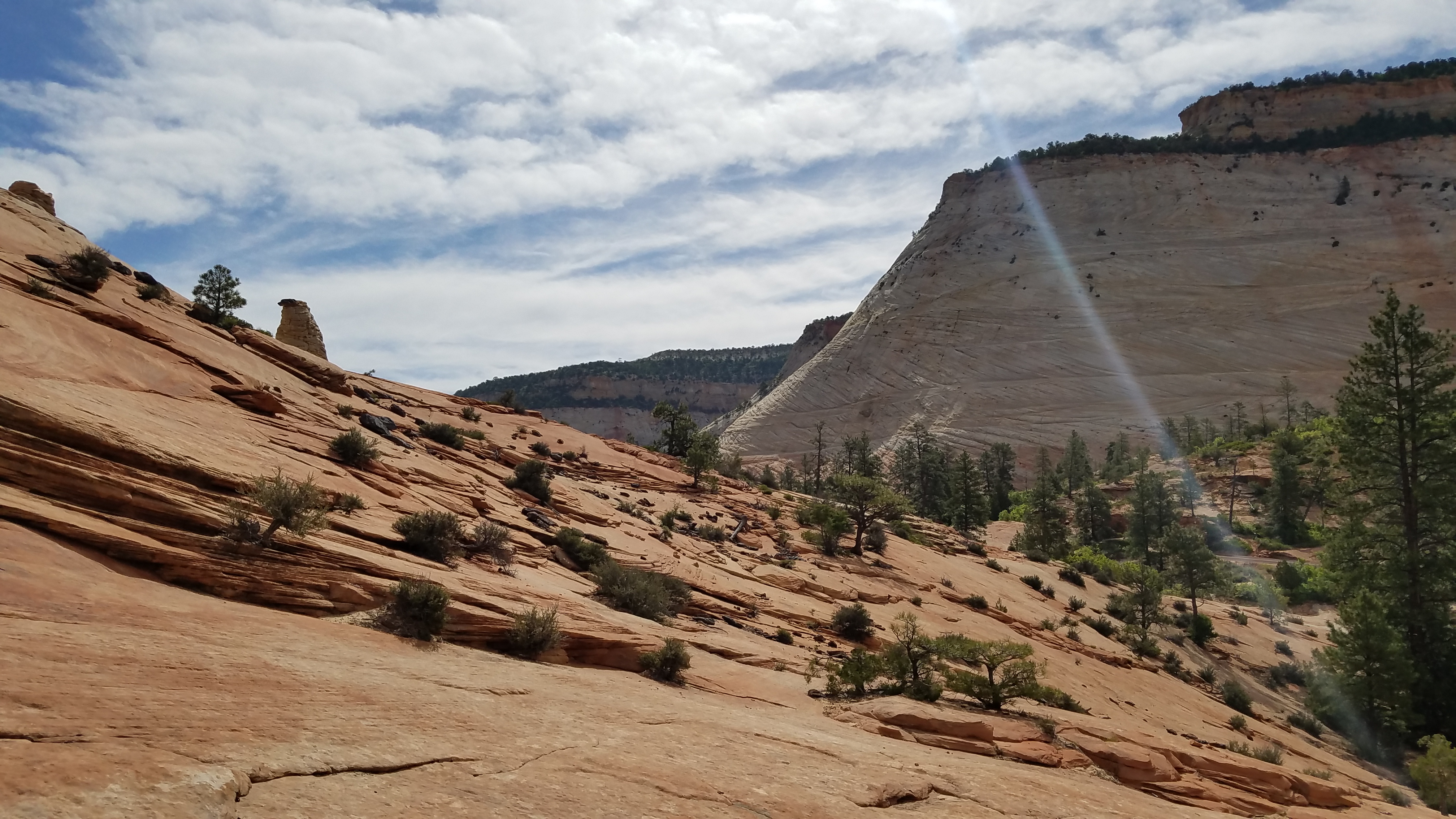
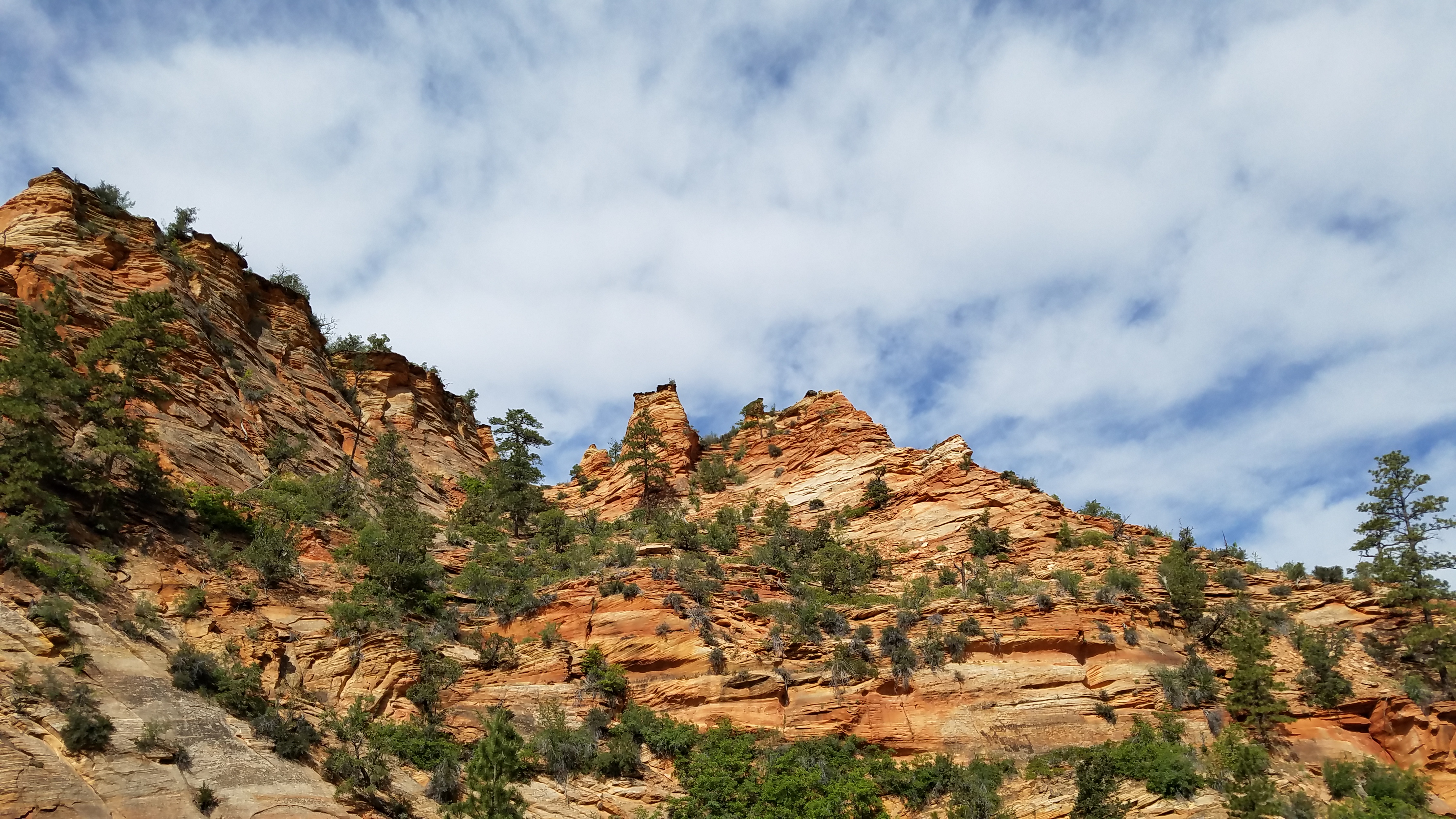
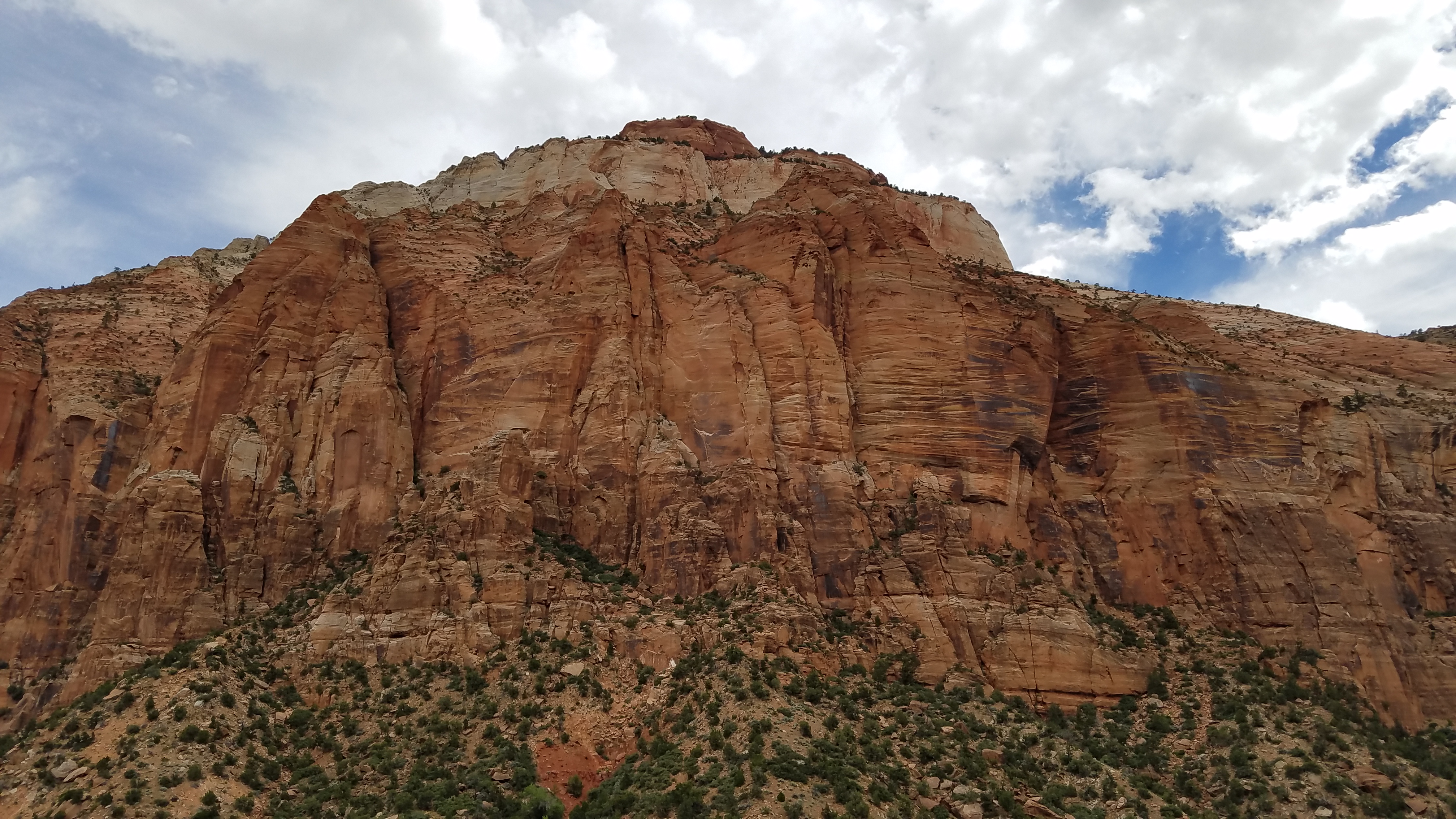
The west side of the park is the most well known, the side with the canyon and the buses and Angel’s Landing and and and, but the east side, where we enter, is a little less populated, a little less frantic, a little easier to warm up with as the day starts to gain a little heat. We agree to get out at most of the pull-off points, stretch our legs, take pictures.

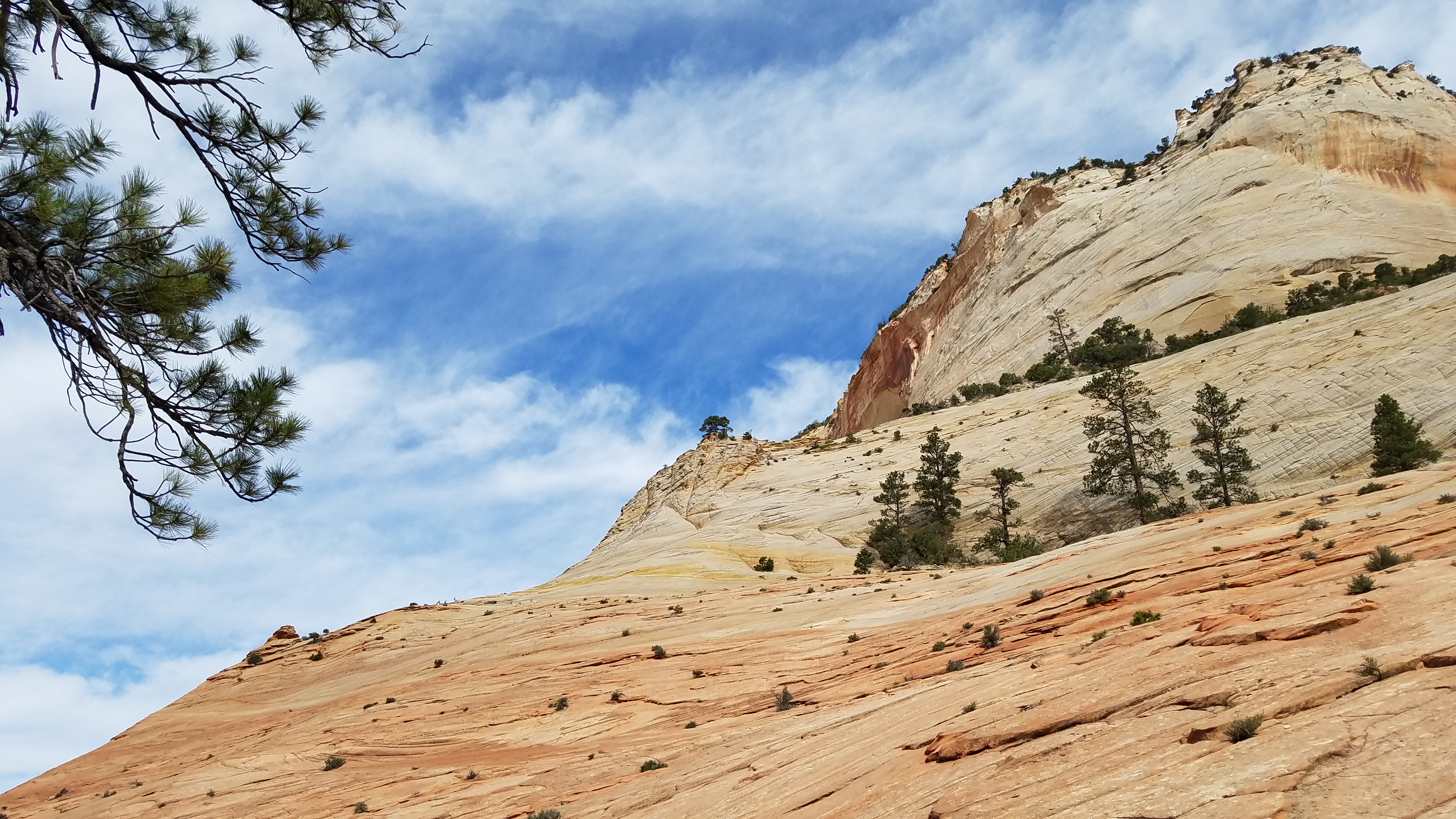
The second pull-off has a rock hill that Spesh’s always wanted to climb; there are a number of people standing nearby, taking pictures. Looks like a herd of bighorn sheep is chilling way up there. But we won’t disturb them; we’ll use the thumb trick to stay a ways away, watching for any signs that they notice us, or care about our presence.
They’re hardly noticeable here. I think they’re fine.
The rock hill we climb is broad and wide and open and smooth, so smooth; I make it about 50 feet up the incline before a keen weirdness permeates my body. Each step seems stranger than the last – I’m not sure I should be up here, should be doing this, despite the fact that I’ve seen Spesh take these same steps no problem.
Huh. I guess that’s existential dread come a-knocking.
It pulls me to a stop just short of an even more-vertical looking section, and I tell Spesh to go on without me. Seems Half Dome fucked me up something serious1.
At least it’s a nice spot for pictures.
Spesh takes his time wandering around up there, out of sight, which is time enough for me to get annoyed with myself – how did I let this happen? Some mountain along with some stupidity nearly a year ago, and I can’t go up smooth-ish rock faces now? This is some bullshit. So while there’s a part of me that’s screaming for me to stay still, that’s terrified that the next step I take, I’m going to slip, there’s no chain to cling to here, and I’m going to fall, break my leg, something that’ll end this job before it begins – I take one step, and then another and another, slow and deliberate and smart, exposure therapy of the crudest variety. If I take my time, it’s not impossible, though as on Half Dome, I’m worried about how I’ll get back down.
I make it another 15 feet up in the few minutes between starting up again and Spesh coming back down. It’s a snail’s pace, but it’s farther than I would’ve gotten. Getting down, I find, is more a matter of trusting my shoe tread when the uppers on the Altras I wore through Washington are full of holes. Hitting the dirt again is sweet relief, though when I check the shoe tread, it’s still great. Nothing to have worried about. I still want new shoes, though.
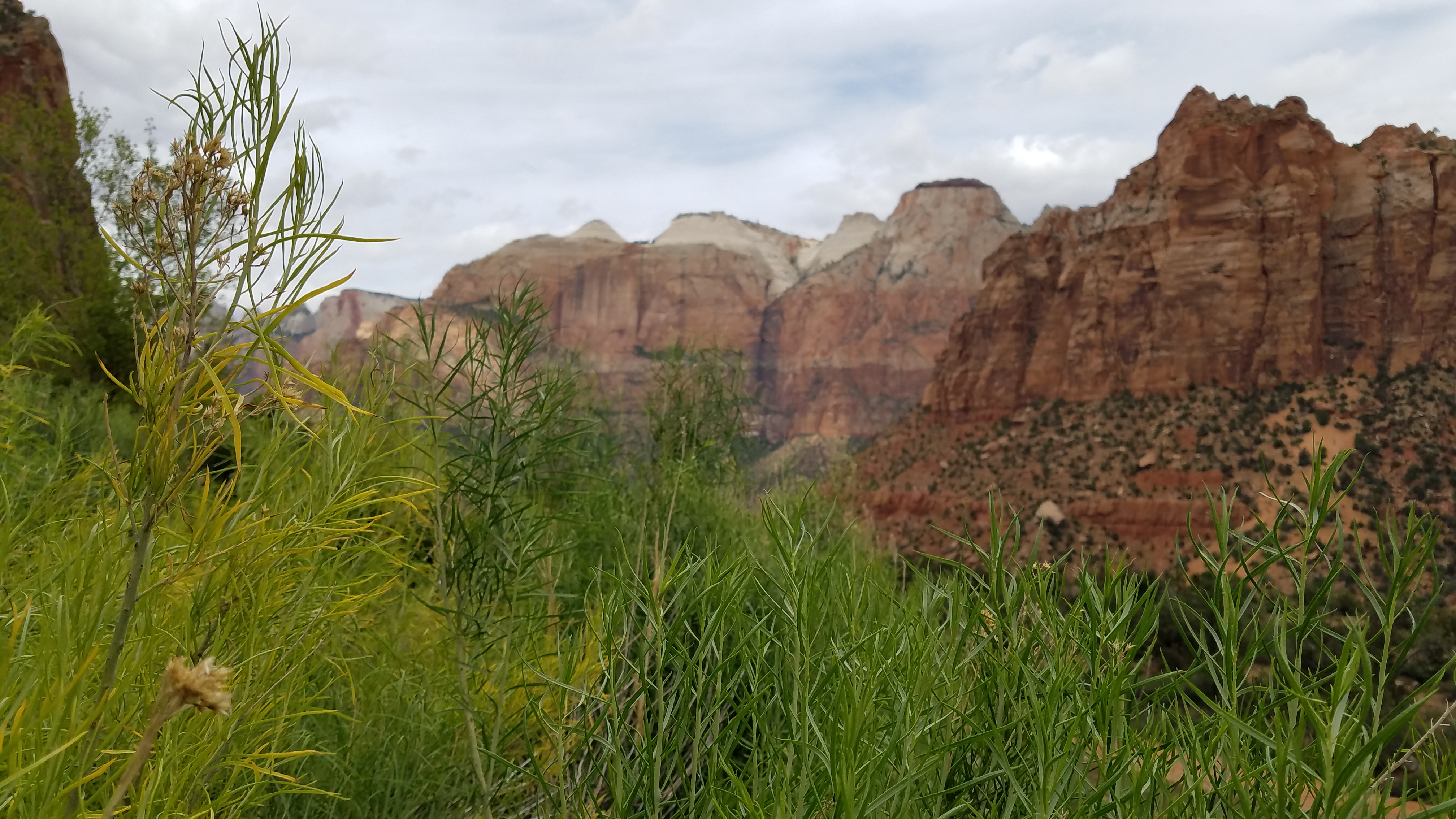
Our next foray out of the car is down a well-worn path into a wash with a waterfall, in the strictest sense of the term; technically, water is falling, but, we find, that would probably be better classified as dripping into fetid puddles at the bottom. Still, the walk is beautiful, more green than I would’ve expected for so little nearby water.

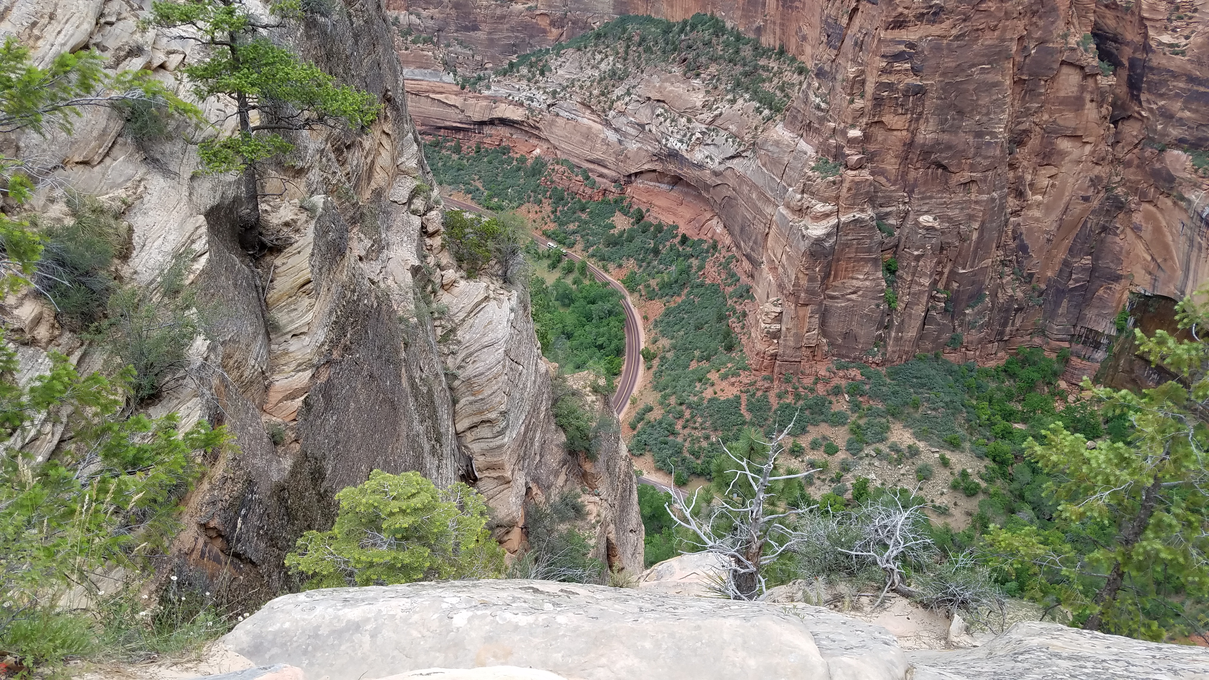
After a fairly-long wait for tour buses and oversized RVs and and and on the east side of the tunnel connecting the halves of the park, we’re through and out and over and around, down, down into the canyon.
There’s no parking on this side for us to take the bus into the canyon, so we head out into Springdale, where there’s a spot that doesn’t require actually parallel parking on the side of the road. OH FRABJOUS DAY! Then it’s walking the mile and change back to the Visitor’s Center, and boarding the bus that’ll take us up to Weeping Rock, the drop-off for the hike to Hidden Canyon. Spesh’s hiked it before, and thinks it’ll be a nice hike; it’s got “some switchbacks”, but shouldn’t be that difficult.

It’s up there… somewhere. Hidden, one might say.
Half a dozen switchbacks later, I’m beginning to feel as though I’ve been lied to.
Hello, snak– oh that’s the road
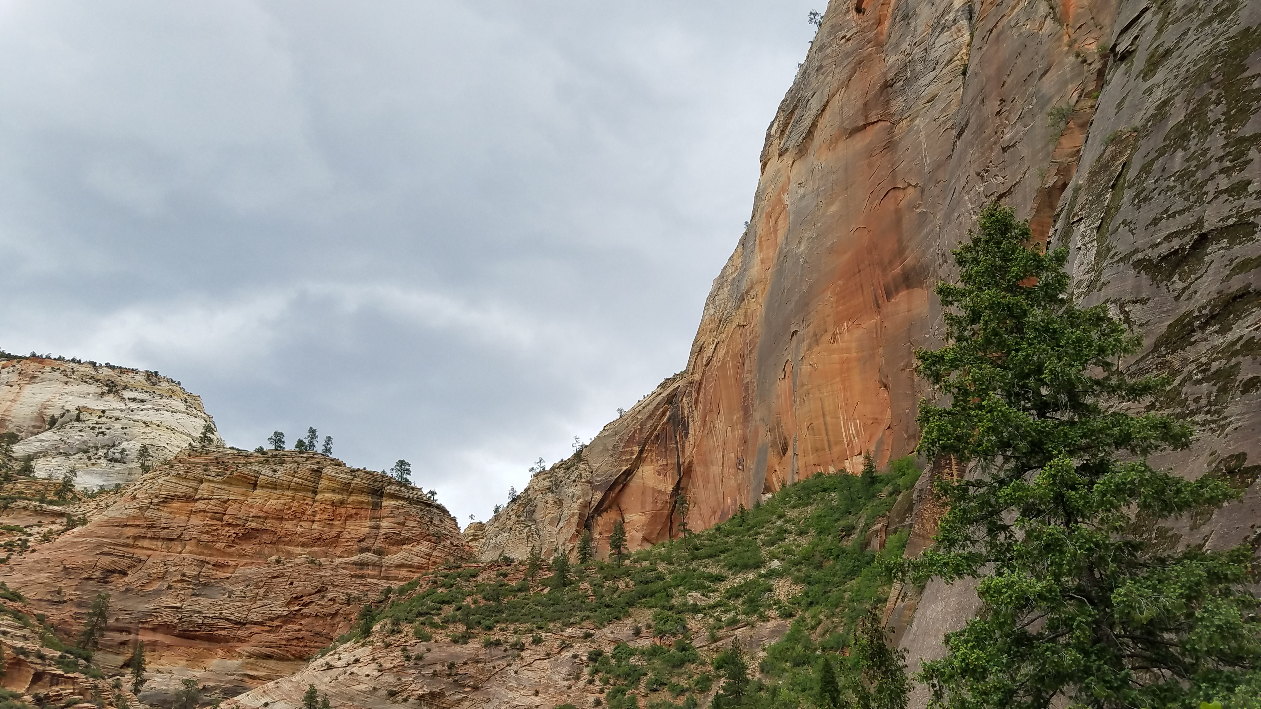
As much as I give Spesh shit for it, it’s not a bad walk – 800-odd feet in a mile doesn’t feel quite as bad as I expect it to. Not that I don’t need to stop every so often to breathe/feel chagrin for being so out of shape/not die, but it could’ve been a lot worse. Probably helps that it’s a well-maintained trail to the mouth of the canyon, 95% ramp rather than the 95% steps I dealt with climbing to South Boulder Peak. And the canyon itself, all those feet in the air, is pretty rad.

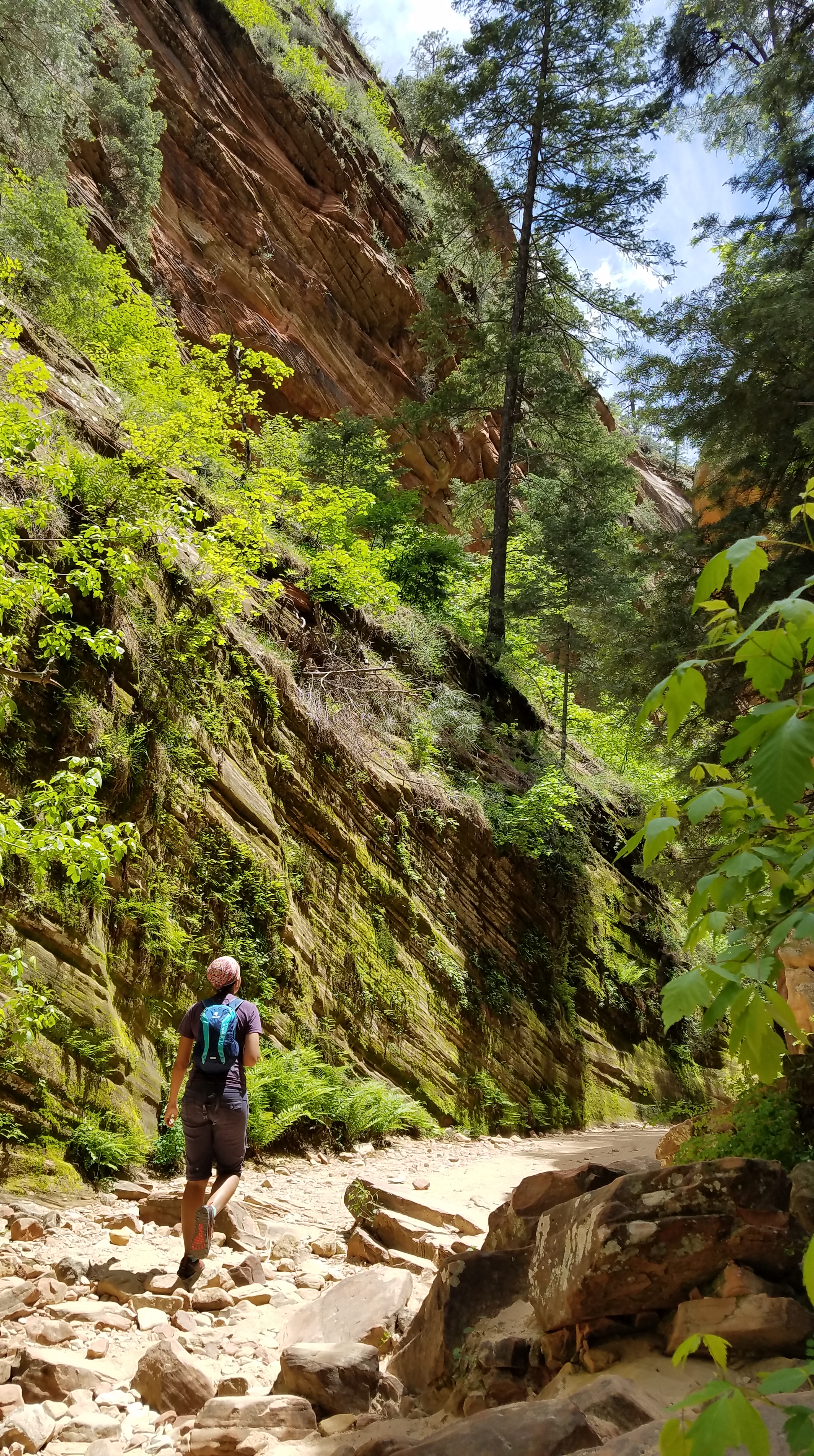
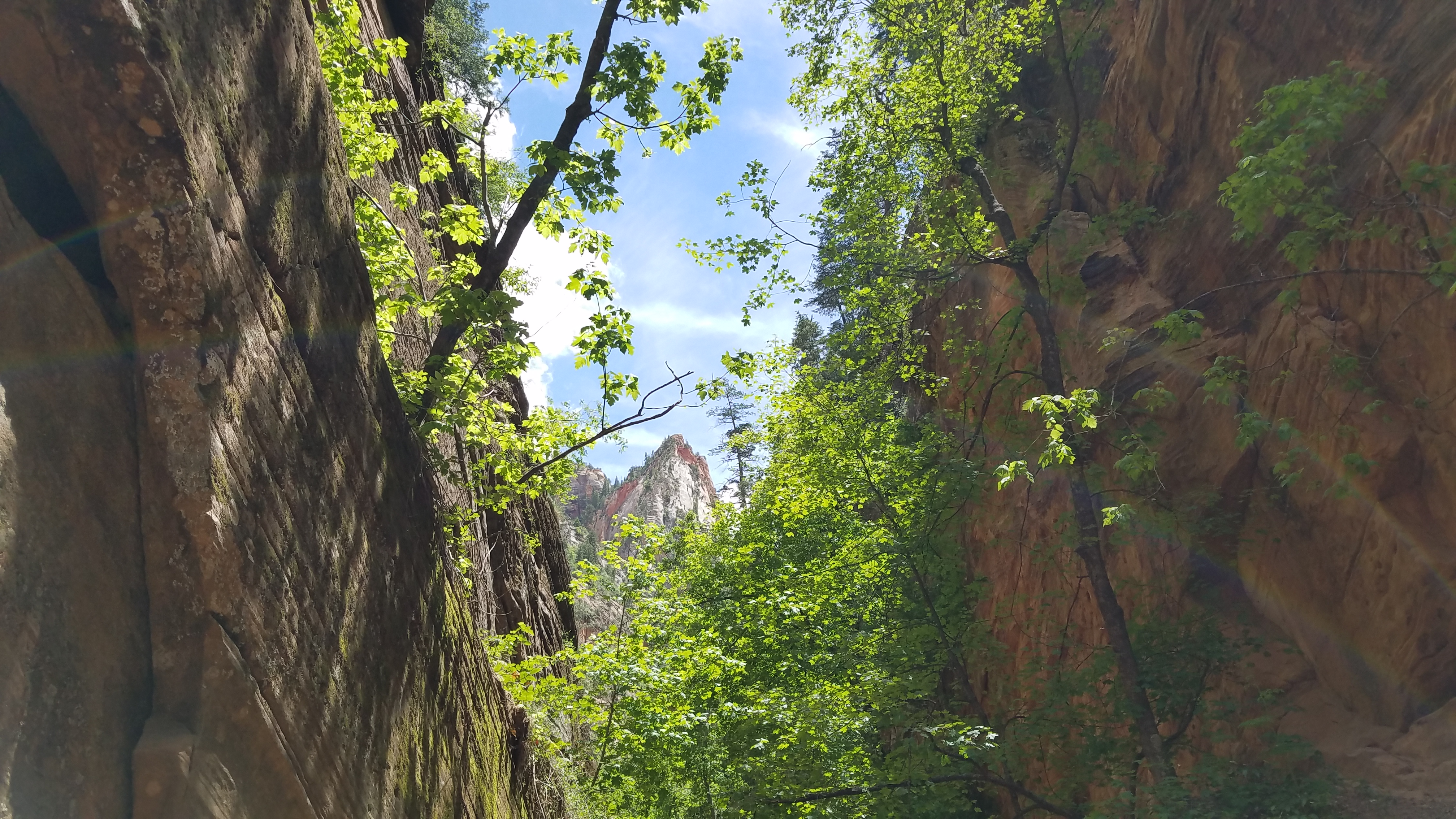
While the trail isn’t maintained in the canyon, we head in to see what’s back there, and while there are a couple of scrambles to navigate, I find those rather fun. I mean, I tackle them gingerly, but there’s none of the fear of the morning in me. Different circumstances, I guess.
Back, back, sunlight spilling over the canyon edges, making the light just right:
And finally, victory! Success! We get to what we came here to see.

arch is love, arch is life
There’s a sign just beyond saying to turn around now, but there are also a ton of brand-new cairns built just beyond the sign, tempting people to go just a little further, see what’s just around the next bend. The few folks around are listening to the cairns, not the sign, and even spend some time building the cairns up a little higher before they head further in. I wonder if they noticed the cairns were gone when they got back. Guess I’ll never know.
We meet Team West headed in when we’re headed out; so strange that in such a big park, we cross paths like this. Life is strange that way, I guess. Or the hike was short enough to get done in the time we have left this afternoon.
Then it’s down, down towards the bus, with a short stop at Weeping Rock as the sky starts to look threatening:
Down to the car and back to the Visitor’s Center, where our Subaru draws attention and we take selfies with a die-hard Subaru fan who also gets to learn a little about Leave No Trace. In the shop, we pick up an Adventure Gazetteer, a couple of stickers, and a pack of National Park postcards that I’m going to try to fill out over the coming year. We also fill up on water, as there’s none back at camp. As we drive back to the east side of the park and back to Ponderosa Grove, I’m mostly satisfied, left just a little wanting – wanting to spend more time in this magical place, more time to explore its ups and downs. But that’s what this year is going to be like – tastes, snippets, moments, in hopes of the rest of a lifetime to explore more deeply. It’ll never be enough, I think, as we leave the park behind.
[1] I guess I shouldn’t be that surprised. I had some wariness of heights in the Goat Rocks just some months later, and this is the most Half-Dome-like feature I’ve encountered since then.

Thanks for the great photos of that spectacular exotic landscape and of you too!
LikeLiked by 1 person