We’re up and out by 5, which is good – we’ve got a peak to bag and a thunderstorm to avoid – plus, we’ve got to actually get back to the trail. At 5am, there aren’t exactly cars around to give us a hitch, so it’s walking to the Ernie Maxwell Trail, which will take us to Humber Park, where the Devil’s Slide Trail is, which, finally, will put us back on the PCT.
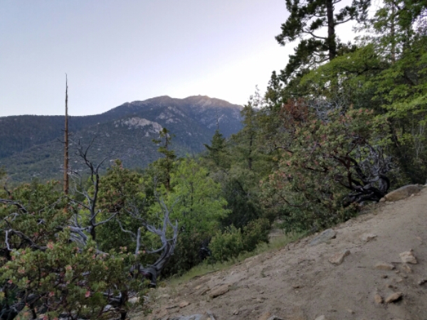
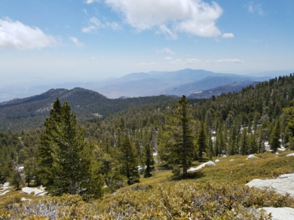
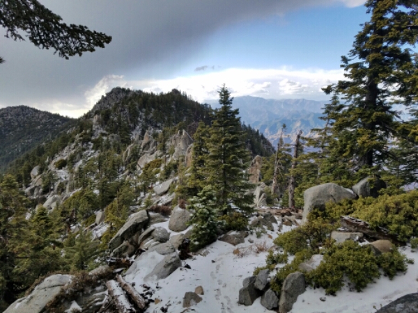
It’s pretty easy to get to the Ernie Maxwell, if all uphill – as is the trail itself. It has some sweet views, though.
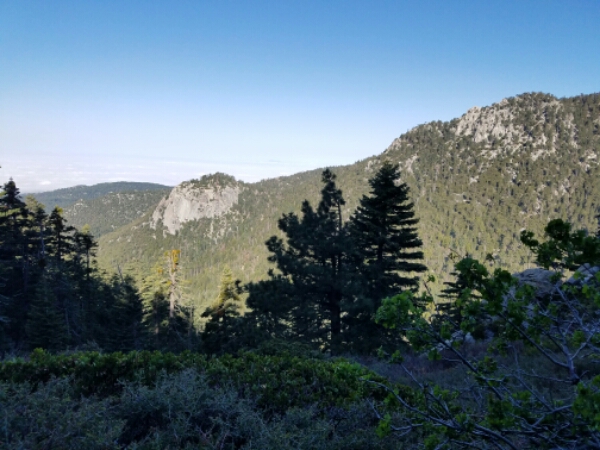
We arrive at the Devil’s Slide right around the time we suspect we would’ve if we’d have taken an offered ride1. Womp womp. And, of course, the Devil’s Slide is not named such because it gently meanders uphill. But again, great views.
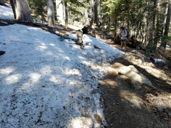
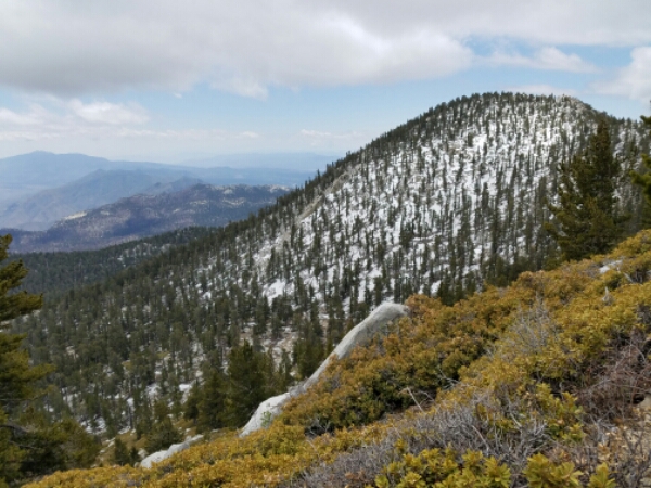
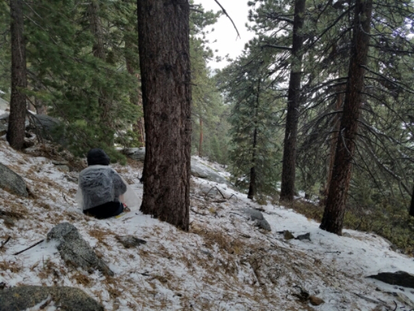
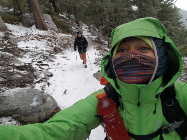
We take a rest break at Saddle Junction, then it’s more ups on the PCT – through some snow! – to get to the San Jacinto peak trail.
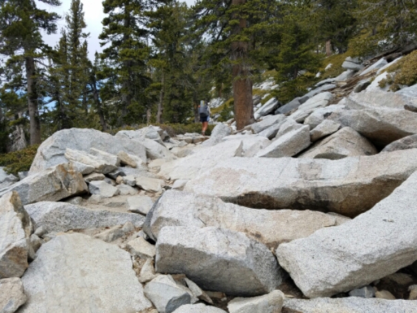
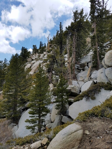
The difference between the care taken with the PCT and the care taken with the trail to the peak is pretty immediately obvious – the peak trail is absurdly overgrown in places, barely a trail in others, clambering over rocks taller than my knees2 in certain places.
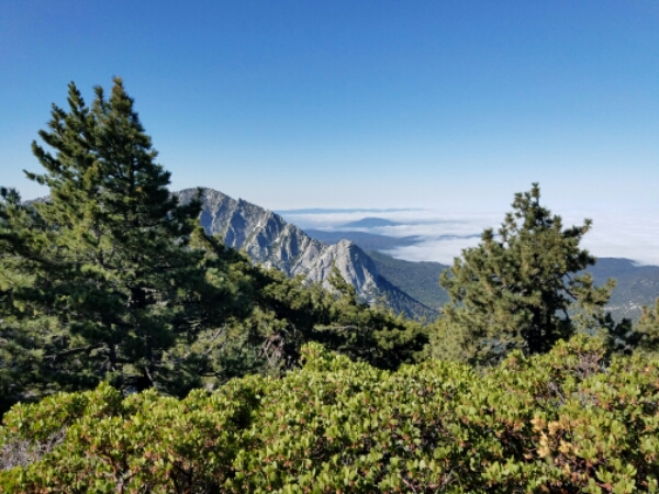
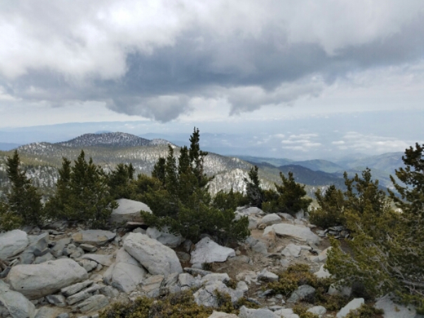
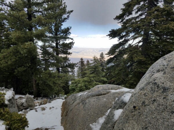
It makes for slow going – Sasha’s ahead of me now – although it’s nice to have the views as an excuse for going so slow.
Near the top, I have just. Fucking. HAD IT. with this stupid trail and its stupid rocks and I have to lift my stupid feet up instead of shuffle them along like I usually do. Stupid not-stairs. In my heart I know that’s the hanger speaking, but also I’d really like to be done now, pls.
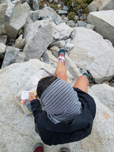
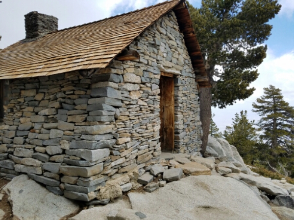
And then, I am! …kind of. I’m at the saddle with the out and back trail to the top, and even though I see no other packs lurking about I plop mine down and am light, so light and free without it. I grab some goldfish and my bottle of water, and it’s choose your own adventure to the top, so many people have made so many paths. I kind of sort of follow the Guthook app’s advice, go past the Hut and around the back, but balancing on slick melted snow while trying not to crush my goldfish, I become about 80% sure there’s an easier way to the top.
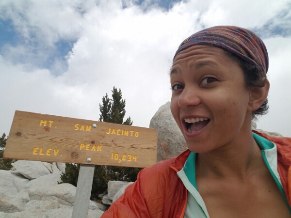
But then, there it is!
Probably less impressive than a clear day, but still pretty rad.
Sasha’s just started lunch, so while I’m a little nervous, what with the clouds and the weather that’s supposed to be rolling our way, I sit and eat, too. An older gentleman comes up to the summit another way, says it’s the easiest – I knew it.
When we’re ready to go, I try to follow him down, but he’s fast, and I lose him. I spend some time getting to know the grip on my shoes, standing on rocks of varying verticality and seeing if I slide. They’re pretty baller, clinging to most of the rocks I subject them to. Noted.
I poke my head into the hut; Cap and Spike, two members of the Pack-it-Out team, are cleaning up in there. I sign the register somewhat cheekily – still grouchy about the climb – and then head back to the saddle.
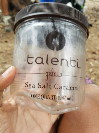
Stuart, another thruhiker, offers hot tea, and while I question the wisdom of it I hold out my Talenti jar. It’ll be fine, that’s a nice thick plastic.
I’m drinking plastic-laced tea out of Stuart’s pot when the temperature starts to drop. 10F+ in a matter of minutes. So while I wanna hang out with Joe, Sarah, Katie, and Dom – who have just gotten to the saddle off the hell peak trail – we – Sasha, Stuart, Alex and I – gotta get out of here.
Sho nuff, hail comes down on us amid thunder as we’re descending. It’s a bit of a mad dash to lower elevation, but then there’re enough trees to let us slow down a bit. Still moving, though – we have to get down.
We go through a nice campground, but it’s so early, and the thunder’s subsided, and we can get down further. We pass a couple spots with running water, but don’t fill up – there’s another later that’s the last for 20 miles.
Of course, it’s right before we get there that the rumbles begin anew.
Everyone’s pretty concerned as we tank up – Sasha and I agree to filter later, then it’s racing to find some shelter – there’s a depression in the earth with some same-sex trees around it that’s big enough for us to spread out in, so we hole up there. Présenté joins us for a bit, but gets too cold, so she strikes out. We follow suit a little later, when it sounds like the rumbles are spreading out.
Of course, as the trail starts to go up again, they start to get closer together again. Spesh always says to make the more conservative decision when it comes to safety, so we stop, spread out, wrap our bottom halves in our groundsheets – and hear the lightning change from cloud-to-cloud to cloud-to-ground, get pelted by hail as it builds up on the ground. Once, I don’t even get to two between the flash and the boom.
And, suddenly, it’s over. What was probably only 20 minutes felt like an hour, particularly on my aching legs. And while we give it a few minutes to see if it’s gonna act up again, it doesn’t, so we race out of hiding and up to Fuller Ridge.
Run run run as fast as you can without slipping– holy hell.
It’s like nature is apologizing – it’s amazingly beautiful out now. the juxtaposition between the dark and the light, the way it plays on everything – it’s a photographer’s dream.
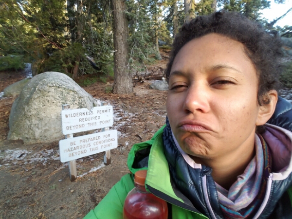
No more thunder; we’re safe our last few miles. But not safe from the irony of this sign.
We roll into the Fuller Ridge Trailhead campground, where a bunch of other soggy hikers have made a fire. We all chat about our experiences and warm ourselves until the night claims the area and we all slink back to our tents.
Start: Idyllwild • End: 191.3 • Day: 3.8 (CG+Ernie Maxwell) + 2.6 (Devil’s Slide) + 1.8 (PCT) + 5.7 (peak alternate) + 5.6 (PCT) = 19.5
Notable Accomplishments: Survived a close lightning storm • 5500+ feet of elevation gain in the morning • Bonded over a less-than-optimal situation
[1] There was someone coming to the campground to pick up hikers at 6:30 who apparently had space in his vehicle. We arrived around 6:40 or so. Ehhh.
[2] I’m 5’11 & 3/4″, for reference. (Slightly under 2m, if that helps.)


I like the water bottle bungee cord idea. My favorite pack has easy to access side pockets, but my bigger pack doesn’t, and this will be a good hack.
LikeLike
You want to see big stairs, just wait until you get to the Sierra! Apparently, 2-3 foot high stairs are just right for mules? That’s the rumor I heard, but it doesn’t make them any easier.
LikeLike
I will mentally and emotionally prepare myself accordingly. 🙃
LikeLike
Naive question (from an overloaded day hiker who got hailed upon twice while descending the mountain that day): do PCT thru hikers typically bag Mt. San Jacinto on their way through?
LikeLike
Depends on the hiker. A lot of folks do, just because it’s a 5-mile alternate that skips 4 miles of the PCT. So it’s basically one extra mile (and a lot of elevation) to bag the third tallest peak in SoCal.
Also probably depends on the weather, timing, if friends want to/don’t, injuries if applicable, all of that.
LikeLike
What do you mean by same sex trees? Does this have any relation to lighting safety, sorry if this is a dumb question.
LikeLiked by 1 person
Thaat was a spell-check error. Same-size trees. Size. Which is good for lightning, given that lightning is more likely to strike taller trees than shorter/same-size trees.
LikeLike